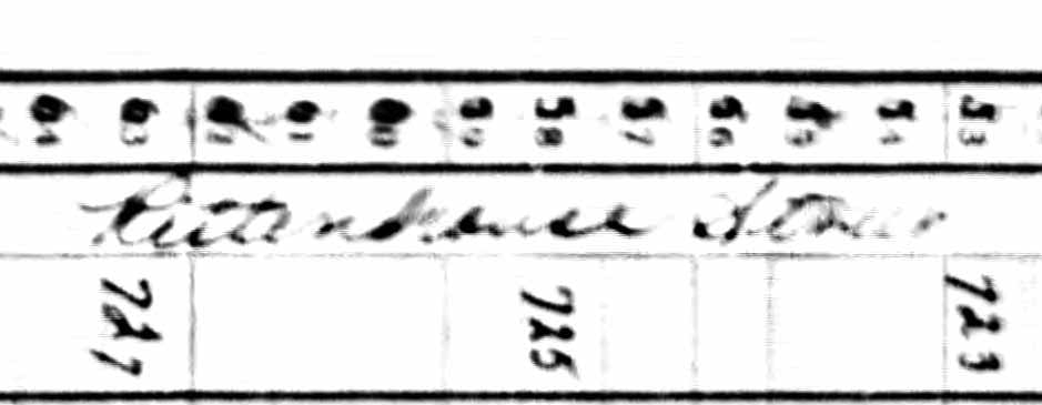
The image below comes from a page from the 1940 US Census:

(Full size image here.)
The page header from the Census is a poor scan. While I can make out the location as Washington DC, I'm unsure as to the ward:

(Full size image here.)
Can anyone decipher the street, either from the scan or deductively based on the information in the Census header?